Why the 3D map needs to be at the heart of how you view your data
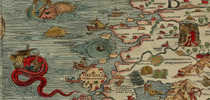
The earliest known attempt at a map of the world was made around 1510 and is today called the Hunt-Lenox Globe, less than 115 mm in diameter it nevertheless included all the known world and for the parts of the planet then unknown used the now famous phrase, “Hic sunt dracones” or “There Be Dragons” to describe the unknown horrors that lay ahead.
Today little, if any of the planet remains unmapped and our ‘dragons’ are either military or commercial threats however the map is still the key to the most efficient way to view not just geospatial data but other information as well but more than that it is the ability to view that map in 3D that is vital to ensure full comprehension of the data.
Customer analytics and target marketing are core functions for most businesses and while it’s possible to manually research aspects of their business, such as which products are sold in which stores or have the greatest margins, 3D GIS allows companies to take this same information and observe trends in the broader population, enhance customer data with additional information such as demographics, consumer expenditures, and segmentation data. This allows businesses to take an evidence-based approach to analysing their product and service offerings, who their customers are, how far those customers are willing to travel, and where to target their marketing budgets to maximize potential returns.
The world is now about sensors, systems both hidden and in plain sight. The information collected from mobile phones, from GPS in cars, from CCTV and from facial recognition are all combining to locate people in space and time thousands of times a day. The value of that data can only be fully exploited with an accurate, fast 3DGeospatial system able to deal with vast quantities of data in hundreds of formats. 3DGeospatial allows us to not only view what is there now but in addition what was there in the past. The science of comparative analysis requires accurate placement in space and time of all items in the view
When you add location information to business information, you get an unbeatable competitive edge. 3D geospatial analysis adds much more context with the addition of timing and location information. According to Deloitte, “Today, it is possible for organizations to add the context of timing and location to traditional data, creating maps that show changes over time and exactly where those changes are taking place. Maps make it easier for the eye to recognize patterns that were previously buried in spreadsheets, such as distance, proximity, contiguity, and affiliation.”
Make analytics more engaging – When events and trends are seen within the context of a map they are easier to understand and act upon. Geospatial based analytics can help organisations anticipate and prepare based around location based information.
Develop targeted solutions – Location based analysis can help decision makers understand why solutions that work in one location fail in others. Increasingly knowing where and when is an important as knowing what.
3D visualization of information is now the minimum requirement when attempting to fully comprehend the unprecedented amount of data now arriving at our screens, those people who appreciate and use the advantage that 3D offers will be the ones who gain the most and avoid the ‘dragons’ of the unknown.


