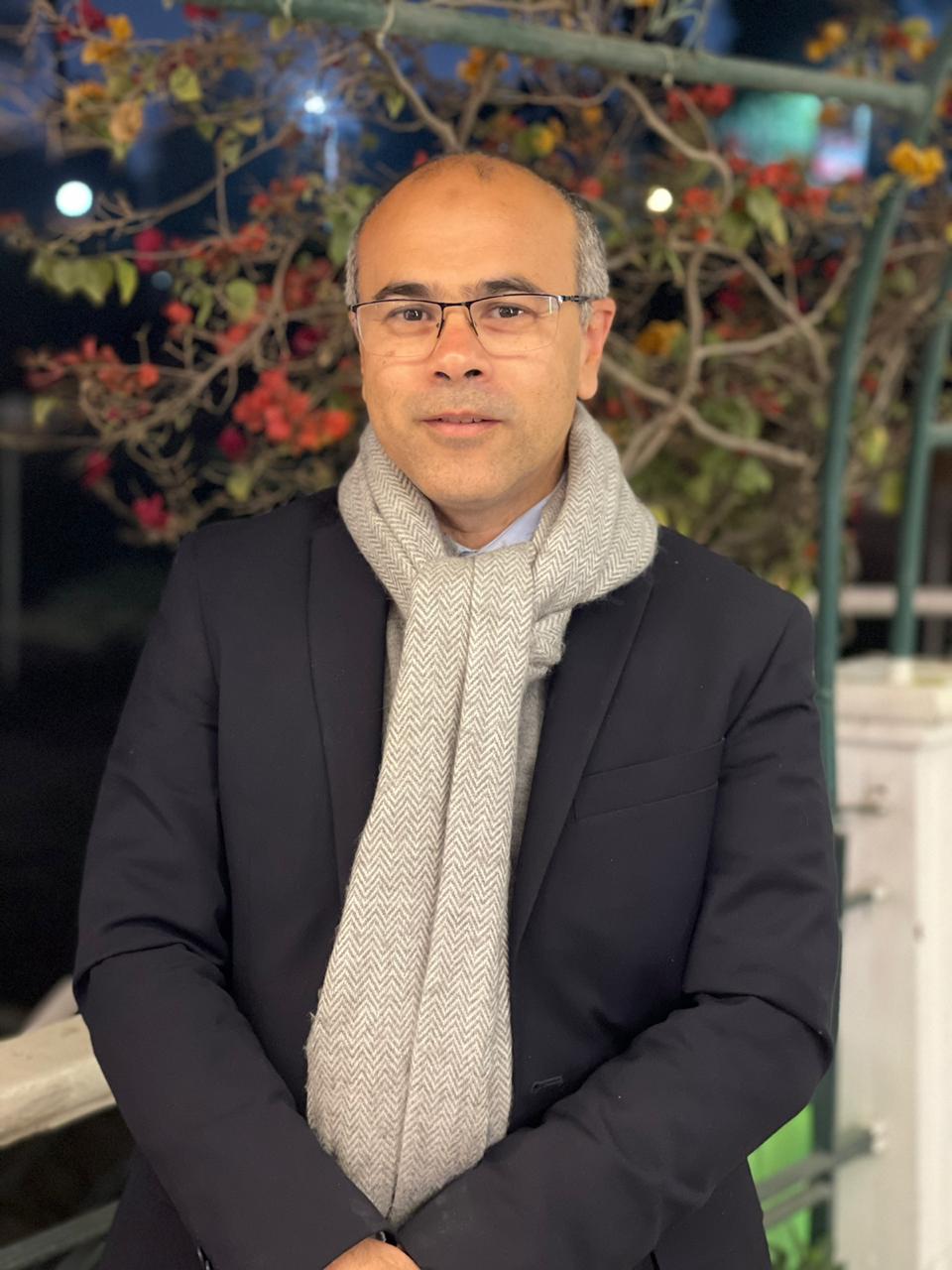
 About the Author: Wessam Abd El-Fattah About the Author: Wessam Abd El-Fattah
Wessam Abd El-Fattah is the CEO of Edge-Pro and has more than 20 years of experience in the fields of remote sensing, photogrammetry, and Geographic Information Systems. He holds a B.S. in civil engineering from Cairo University and a diploma in GIS and remote sensing from the Information Technology Institute in Egypt. Abd El-Fattah is using his unique set of skills, perspectives, and relationships to lead Edge-Pro into the future. He is known for his collaborative leadership style and for building high-performance teams. |
Monitoring change is a big part of land management, but it’s tough to do manually. Eyeballing water levels and physically measuring vegetation growth is not only imprecise, but also time-consuming and labor intensive.
With more than 20 years of experience in remote sensing, photogrammetry, and GIS, Edge-Pro has the expertise and the technology to help.
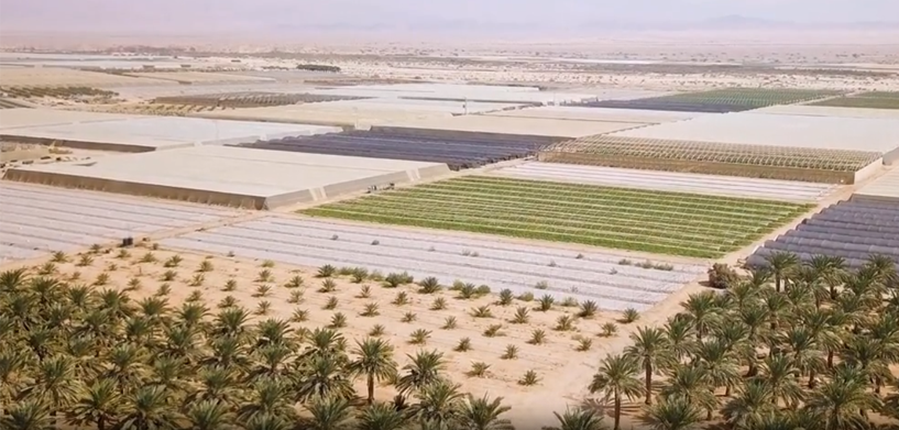
Using Hexagon’s industry-leading remote sensing software ERDAS IMAGINE, Edge-Pro built a monitoring and evaluation system for calculating, measuring, and detecting changes with incredible accuracy. Users can track the evaporation rate, temperature, or size of anything, from crops to lakes.
With applications in agriculture, government, and the geospatial world, Edge-Pro’s solution provides high-quality data and decision support that enables users to make informed choices, ensuring that land use is optimized.
Watch the video to learn more:


