On February 15 and 16, Luciad organized its first internal hackathon. During 24 hours Luciad employees had the opportunity to develop the project of their dreams. In this series, we’ll zoom in on the winning projects.
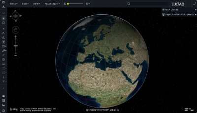
Currently Luciad’s desktop solution, LuciadLightspeed by default displays the map of the world. As Luciad is known for its future proof solutions, and commercial space travel is just around the corner, team Space is the Place took on the challenge to recreate the solar system and its planets in Luciad.

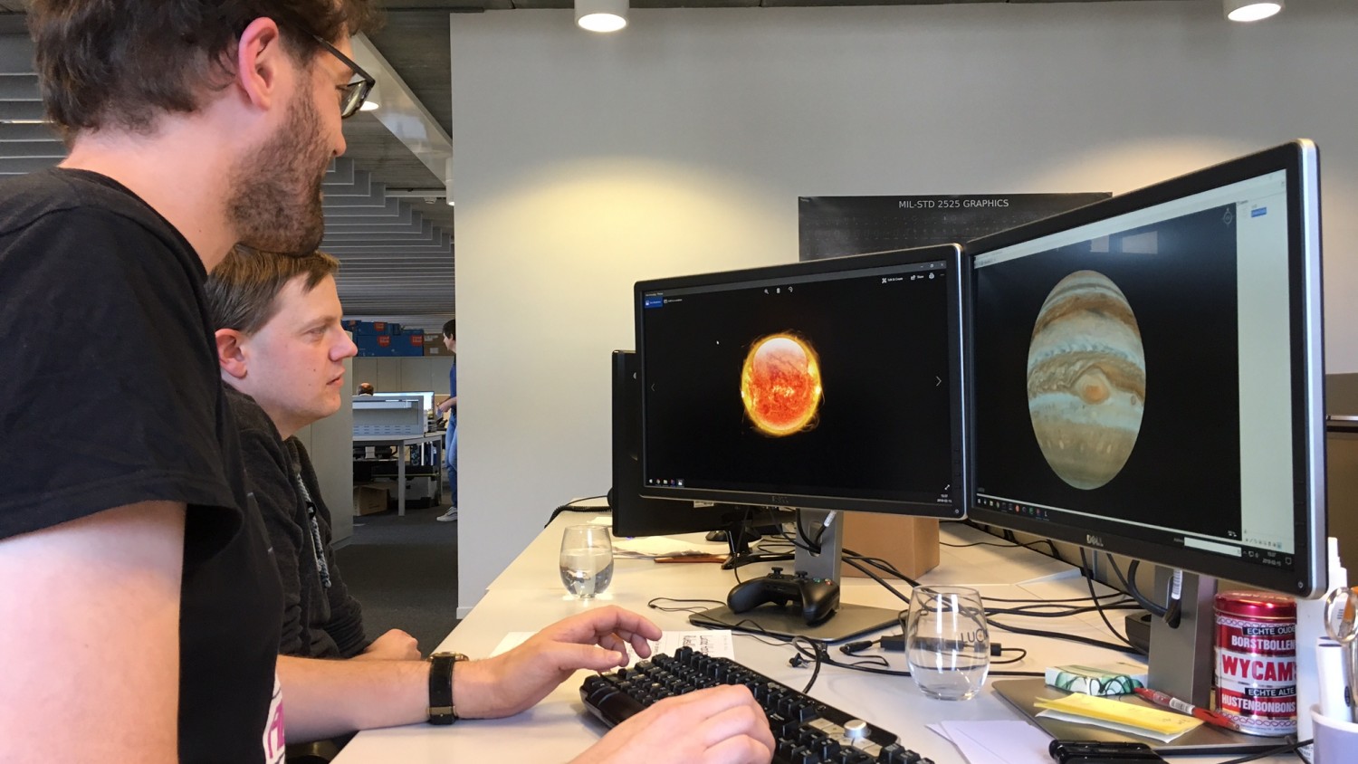
Team Space is the Place, aka Tom Nuydens, Project Leader and Peter Verlinden, Software Engineer at Luciad’s R&D department, won the silver medal with this hackathon project.
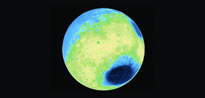
Their application starts by showing a true-to-scale 3D simulation of the planetary orbits. From there, the user can explore individual planets by selecting them from a toolbar. The planets are, of course, also shown true to scale, using an appropriate geodetic datum for each one. To visualize them, freely available data from USGS was used: satellite imagery, elevation models and in some cases even vector data. As Luciad can handle any type of geospatial data set, these data just needed to be dragged and dropped onto the canvas and could be used instantaneously.

The video below shows the initial view of the planetary orbits. Next, Mars is selected from the toolbar. The view then shows some low-resolution base imagery of Mars. Next, a higher-resolution grayscale satellite mosaic is added by dragging the GeoTIFF file onto the view. Then an elevation model is added, and finally a SHP file is loaded describing geological features. Double-clicking on any such vector feature brings up a dialog with that feature’s properties.
So if you’re planning a mission to space in the near future, you know who to call!


