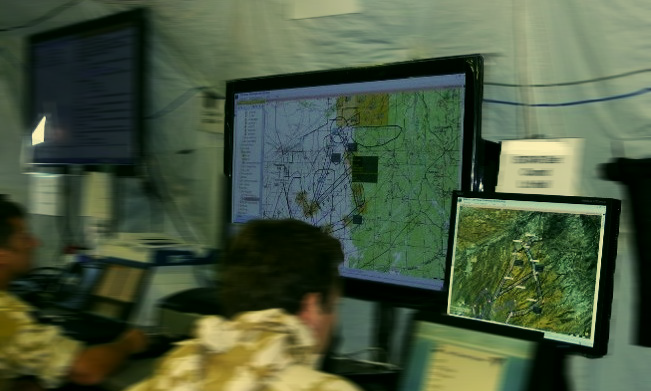
Geospatial information and technology are increasingly critical to achieving success in the Defense industry. We’ve already looked at how Hexagon’s Luciad Portfolio enables military users to create custom solutions for mission requirements, and in the second blog in this series, we’ll explore how NATO uses LuciadLightspeed.
In its mission to develop the graphical capabilities necessary to effectively visualize geospatial information from multiple sources, NATO made updates to its Integrated Command and Control (ICC) software with LuciadLightspeed. The ICC is an integrated system that provides decision and information management support to NATO operations during peacetime and wartime and during exercises.
NATO turned to LuciadLightspeed so that the ICC would be able to disseminate data involving fast-moving objects and rapidly changing situations. LuciadLightspeed allows the ICC to provide a common operational picture that is second to none and helps increase the situational awareness of commanders. Because of LuciadLightspeed’s flexible programming, NATO can also implement their own insights to develop an end user system capable of adapting to future needs.
Air operations planning and execution is at the heart of the integrated system providing decision and information management support to NATO. Luciad Portfolio technology provided a quick response to those ever-changing needs, and NATO was presented with the first Command and Control system capable of offering increased situational awareness at the theater, operational, and far more tactical local levels.
Want to learn more? Download the case study.


