 About the Author: Patrice Lemire About the Author: Patrice Lemire
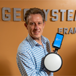
Patrice Lemire is the founder and CEO of Geosystems France. Trained as a hydrographer, he acquired extensive experience in bathymetry, topography, and photogrammetry within the French Navy. He joined Leica Geosystems in 2001 as a Photogrammetry Support Engineer. In 2006, he founded Geosystems France to distribute ERDAS photogrammetry and remote sensing solutions in France and in French-speaking African countries. Patrice is fond of innovation and is pleased to diversify Geosystems France activities’ by developing service-based solutions such as F3D. |
Since 2012, legislation in France has had a major impact on utilities operations — and there’s no sign of it slowing down anytime soon.
Over the next decade, more and more utility networks will gradually have to be georeferenced with a high degree of accuracy. Essentially, every time installations or repairs are needed on an underground utility network, networks must be georeferenced first.
Bringing in a surveyor-topographer to survey the network can be expensive and slow down the project timeline.
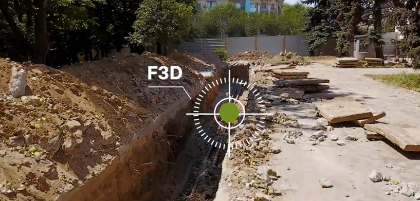
But with FOUILLES 3D (F3D), a comprehensive solution from Hexagon partner Geosystems France, civil engineering teams can handle the task themselves. Built with Hexagon technology including M.App Enterprise and Leica GG04+ GNSS antenna, F3D lets users conduct open trench surveys and create reports fully autonomously.
F3D assists both onsite and office users.
Onsite:
- An operator walks alongside the open trench with the F3D “pistol” and records the data.
- Survey data from the network is transmitted to the processing platform.
- The operator receives a report in minutes, validating that the survey is safe to continue.
In the office:
- The manager also receives the survey report and can check the quality of the onsite team’s work.
- The manager can access the data to draw a CAD plan and can also receive data to analyze the onsite team’s other activities.
F3D offers a greener, easier, faster, and cheaper alternative to bringing in a specialist to conduct the surveying, and users can also expand its capabilities with an add-on for stakeout, marking/picketing, and detection. Another add-on that includes augmented reality to visualize utility networks in real time.
Watch how simple it is to use F3D:

Learn more about Geosystems France and their new solution.


