


“In five years, there may be a million times more than the amount of geospatial data that we have today.”
Robert Cardillo, sixth director of the National Geospatial-Intelligence Agency, said these words in his 2017 keynote address at the United States Geospatial Intelligence Foundation’s GEOINT Symposium. Every day, they ring more and more true. As the amount of geospatial data increases rapidly, analysts and their organizations have to find a way to keep pace.
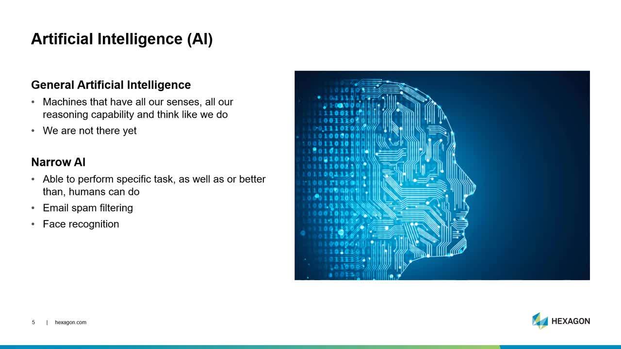
This is often done with the help of artificial intelligence (AI), machine learning, and deep learning. But what do these terms truly mean, what’s the difference between the three, and how do they specifically help you manage geospatial Big Data?
In Part 1 of my two-part video series, I explore how the geospatial industry can get the most out of AI, machine learning, and deep learning. Take a look below, and stay tuned to the Sensing Change Blog for Part 2.
Visit our website to learn more about remote sensing, machine learning, and location-based analytics.
