One of the most important changes within the military command environment has been the revolution of technology, which has brought the use of new tools into battlefield management. From the initial ‘digitization’ of the map in the 1980s through to the latest soldier wearable ‘smart’ systems, we are seeing an unprecedented amount of data being delivered to the warfighter at all levels.
In current defence bodies there are various Command & Control Information Systems, Common Operational Systems, Naval, Land and Air Operations, Intelligence, Security, Logistics Systems, National Security, Position and Location Tracking Systems, Military Estate Information Systems, Meteorology Information Systems, position based Missile and Weapon Guidance Systems and many others. In almost all of these projects there is a strong need for Military GIS (Geographic Information Systems) with specific additional functionalities within theatre. In addition the rise in the number and type of new sensors has highlighted the importance of GIS System accuracy when displaying data within the Common Operational Picture (COP)
In military operations commanders must rely on GIS based distributed systems for effective mission accomplishment. Tactical commanders and operators frequently encounter violent threats and critical demands on their cognitive capacity and reaction time. In the future, they will make decisions in situations whose operational and system characteristics are highly dynamic and nonlinear, i.e. small actions or decisions may have serious and irreversible consequences for the entire mission. Commanders and other decision makers must manage true real-time properties at all levels; individual operators, stand-alone technical systems, higher-order integrated human-machine systems and joint operations forces alike. These demands reinforce the need for the highest possible accuracy levels.
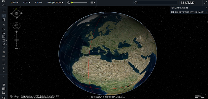
With some GIS systems introducing location errors of 500m during data transformation the requirement for maintaining source data in its original format has never been more relevant and vital. The Luciad Portfolio technology has been independently accredited to an accuracy of 3cm on a global scale meaning that systems developed with Luciad products at their core deliver a guaranteed standard of accuracy for mission critical decision making. The Luciad Portfolio achieves this by taking the processing to the data and never converting it into a proprietary format which is both slow and inaccurate.
With an expected 1000 nano-satellites scheduled to be launched in the next five years we are soon going to be facing a new and previously unimagined level of easily commercially available dynamic data but the ‘where’ of those images has never been more important to know.
The power of GIS resides in its ability to use many types of data related to the same geographical area to perform the analysis, integrating different datasets within a single system. But when a new dataset is brought to the GIS, the software imports not only the data, but also any errors that the data contains. The first action to take care of the problem of error is being aware of it and understanding the limitations of the data being used.
Accuracy has always been and is now the key to effective decision making. As was said by Wyatt Earp,
“Fast is fine but accuracy is everything”


