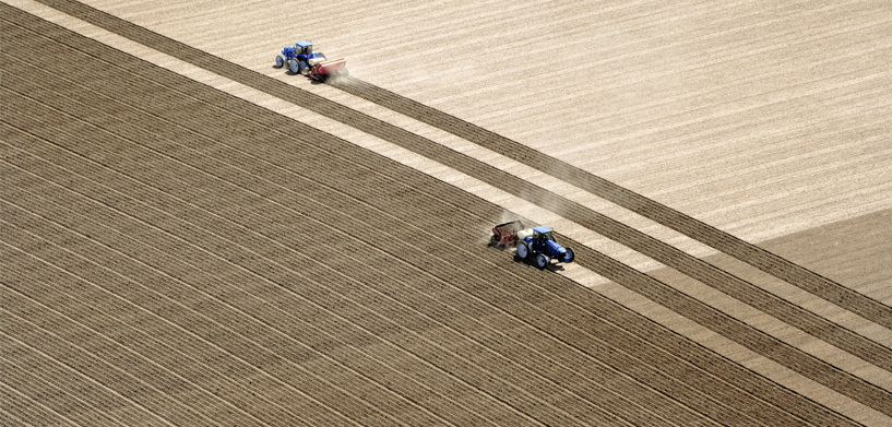
The success of crop farming depends on a variety of factors. To give crops the best chance of thriving, farmers used to manually run seed drills so they could target seed distribution according to those factors. It was effective, but it was also time-consuming and required years of experience.
Today, KWS SAAT SE & Co. KGaA, the world’s fourth largest seed producer, is creating a new smart farming procedure to automate and improve yield analysis, satellite imagery processing and data accessibility — ultimately maximizing crop yields.
Built with Hexagon’s ERDAS IMAGINE technology, the flexible, open solution is moving farming into the future. To learn more, read the complete case study.


