


The Spatial Modeler in ERDAS IMAGINE provides geospatial analysts with an easy-to-use graphical user interface for constructing and running custom models that implement sophisticated algorithms targeted at specific goals. There are hundreds of operators that span the domains of image processing, photogrammetry, LiDAR analysis and raster and vector GIS functionality. This system is used by hundreds of users around the world.
Google Earth Engine
Google has acquired a massive collection of geospatial imagery spanning the globe and spanning more than four decades in some cases. To access and process this data it created a highly scalable cloud platform called Google Earth Engine and has made this available to students and scientists for many years. Now it has begun to offer it as a commercial product, but it requires programming expertise in Python or JavaScript to use. Many in the GIS community are not programmers.
Bridging the gap
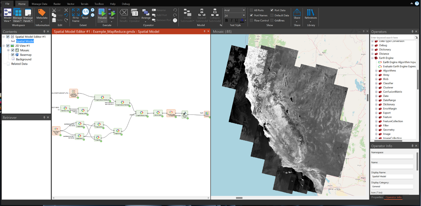
To bridge the gap, Hexagon has developed a product called ERDAS IMAGINE LiveLink for Google Earth Engine. It connects ERDAS IMAGINE Spatial Modeler desktop users to petabytes of geospatial data and allows for algorithms to be developed using the familiar Spatial Modeler paradigm. Any of the more than 800 newly introduced operators can be dragged on the canvas and connected to create a model with results that can be previewed with a single click.
Connecting both worlds
A unique feature of LiveLink is the ability to combine cloud and local data in a single model. For example, if an organization has a set of parcels in a local GIS and it needs to update each parcel feature by adding a field with a metric (e.g., current NDVI (vegetative health)), one part of the spatial model can be created to compute this value using data in the cloud (in fact that computation would happen in the cloud). A separate part of the model can refer to parcel polygons from the local GIS to extract the NDVI bounded by the parcel polygon. Then, for example, the mean NDVI as a new field value can be provided.
To learn more about ERDAS IMAGINE LiveLink for Google Earth Engine, visit the product page.
