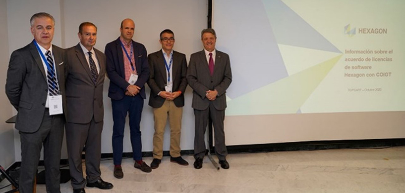
In Spain, the Colegio Oficial de Ingeniería Geomática y Topográfica (Official College of Geomatics and Topographic Engineering, or COIGT) and Hexagon signed a three-year agreement to establish a program in which the college is provided annual licenses for students in the fields of earth observation and geographic information systems (GIS).
The licenses are for ERDAS IMAGINE and GeoMedia Professional. ERDAS IMAGINE, a geospatial data authoring system, consolidates remote sensing, photogrammetry, LiDAR analysis, basic vector analysis and radar processing into a single product. GeoMedia is a powerful, flexible GIS management platform that allows users to aggregate data from a variety of sources and analyze them in unison to extract clear, actionable information.
The agreement was coordinated through the Territorial Delegation of Andalusia, Ceuta and Melilla. It will include training, dissemination and knowledge transfer activities for the duration of the three years, including conferences and the sharing of resources.
Real-life use cases
A webinar was held to explain the use of the licenses, and two additional seminars provided a more in-depth look into GeoMedia and ERDAS IMAGINE. Those who attended the follow-up webinars —more than 40 participants from a variety of backgrounds — were able to ask questions and open the door to new ideas for future webinars and collaborations. In June, for example, ERDAS IMAGINE was used for a course on the European earth observation program Copernicus.
COIGT brings together technical engineers in topography and graduates in geomatics and geoinformation engineering throughout Spain. Learn more on the COIGT website.


