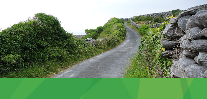
This week in the I am Hexagon Geospatial video series, we hear from Ciaran Kirk, General Manager for IMGS, a Hexagon Geospatial partner. Ciaran’s appreciation for geospatial technology started while he was growing up in Ireland, creating his own maps of the country’s terrain. Learn more about Ciaran in this short Q&A.
Q: Where did you grow up?
A: In Dundalk, Ireland – a small town halfway between Belfast and Dublin.
Q: What did you study in school?
A: At secondary school (high school) I studied, Mathematics, Applied Mathematics, Physics, Geography, German and Economics as well as English and Irish (mandatory subjects in Ireland). In Ireland for your leaving certificate you must do at least 6 subjects. At college, I received a Computer Science degree at Dundalk Institute of Technology (DKIT).
Q: How do you spend your free time?
A: Most of my time outside work is with the kids and I help coach my son’s under 7 Gaelic football team. But when I do get time for myself – I play golf (badly), and when I was younger I played football (soccer). I love watching Rugby and I go to Ireland’s home games in the six nations and autumn internationals. I am a member of the IRFU fan club.
Q: What’s the coolest project you’ve worked on during your time IMGS?
A: The coolest project would have to be the current work we are doing with Siro, who are a new fibre to the home telecom formed by ESB (Ireland’s National Electricity Network) and Vodafone. Siro is going to provide high-speed internet services across Ireland, at speeds up to 1 GIGABYTE. In a very rural country this is a very exciting and a critical project that will support Ireland to continue to be one of the centers for IT services in Europe. Siro is using GeoMedia to support the high-level planning of the network by building advanced reports based on the existing electrical network and population.
Q: What do you see happening in the future of geospatial?
A: I have always believed that geospatial solutions provide great efficiencies within enterprise organisations and with our customers. We are seeing that already today. Whether it’s helping government agencies analyse the impact of change for their citizens, or utilities calculating the greatest return on capital spend; geospatial services are already at the core of what smart enterprises do. In the future, enterprises will be able to harness the power of geospatial solutions easily though cloud-based “everything as a service” solutions that will smash away the old barriers to entry of high specification hardware, inaccessible data, and hard to use experts systems, to open up the geospatial industry to everyone.
Q: What’s an interesting thing about you that you’d like people to know?
A: I was born on the 21st of December, which is the Winter Solstice in Ireland and the day that the burial tomb in Newgrange lights up at dawn. How the Stone Age Irish People built this structure and designed it to catch the light at this time is amazing. Someone, somehow must have used some geospatial thinking to design this!
We want to know what led you to begin your career in the geospatial industry. Share your #MyGeoStory with us and follow us on Twittter, Facebook, and YouTube for more stories from the I am Hexagon Geospatial video series.


