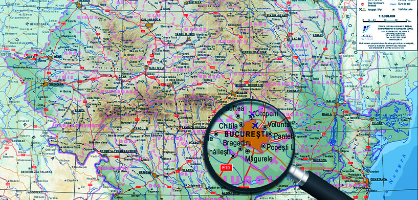
Romania’s National Center for Cartography (CNC) is the cornerstone of the country’s cartographic and land management infrastructure. Its primary role is to provide specialized technical support for developing and maintaining Romania’s national geodetic and cartographic databases. This work is fundamental for the effective functioning of the National Agency for Cadastre and Land Registration (ANCPI) and its territorial offices.
The CNC plays a pivotal role in a project aimed at creating high-quality, true orthophoto maps, DTM, DSM and a 3D mesh of each of Romania’s 320 cities. This data is vital in systematic cadastral registration, verifying cadastral documentation and facilitating advanced urban planning.
The project maintains strict standards for data quality and has many complex requirements, but the CNC’s process was mostly manual, time-consuming and prone to errors. To achieve this, the CNC needed a new solution and turned to Hexagon partner Intergraph Computer Services (ICS) Romania to created a solution built on Hexagon’s M.App Enterprise, ERDAS APOLLO, ERDAS IMAGINE and LuciadFusion: the Integrated Cartography Data Management System.
Download the full case study to learn more.
“Since we have the Integrated Cartography Data Management System, we will use it to address more complex cartographic data acquisition campaigns that were difficult with our manual workflows. We plan to use it to give even more value to services provided to our customers and maybe even create new ones in the future.”
– Ileana Spiroiu , National Center of Cartography Director


