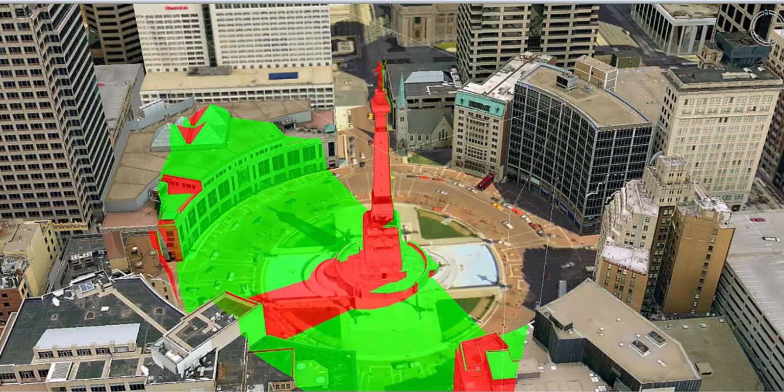
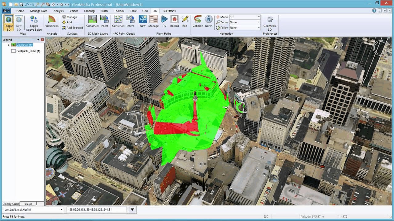
In GeoMedia 3D, the viewshed analysis capabilities can be used to assist in the placement of security cameras. Simply insert a viewshed into the scene to show what’s visible to a security camera placed at a specific location. Select an “eye” or camera location in the 3D view. Then place a second point to define the distance, direction, and pitch of the viewshed from the camera placement point. Since the viewshed is dynamic you can alter the placement and see the results in real-time. Once you’re satisfied, you can store your new viewshed as a feature in the GIS database where it is retained.

You are still able to adjust the viewshed even after storing it in the database by modifying the attributes for the viewshed feature. As you make those modifications, the viewshed display will be automatically updated. You can create an easy visual guide for the results. Surface areas that are visible within the area of view of the camera are tinted green and the hidden areas are tinted red. Placing multiple viewshed features in this manner, can help determine the number, position, and location of the security cameras needed for complete coverage of an area.

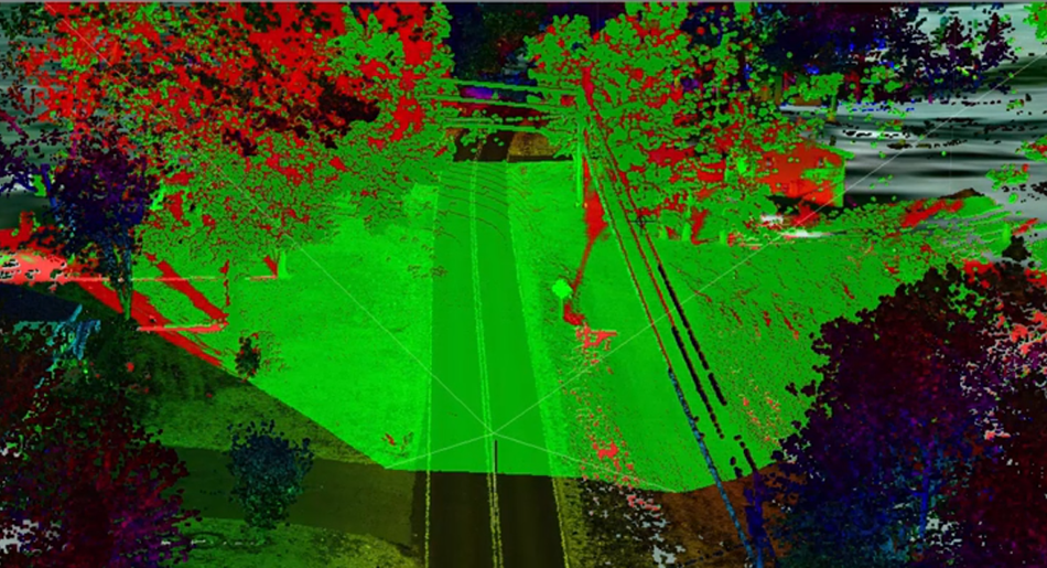
Figure 2. Viewshed Analysis Example Utilizing Point Cloud Data
The discussion so far has assumed that you had a 3D environment to work with, but that may not be the case. However, there is a great alternative. Point cloud usage is trending upward. GeoMedia 3D can work with point clouds (from LiDAR or image sources) directly in the 3D view. You can create your viewsheds directly from the point cloud data and then proceed to the camera placement.
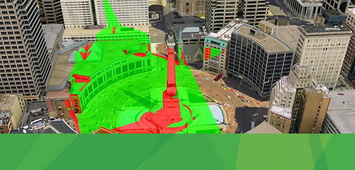
See the Viewshed in action:


