Hexagon has a strong commitment to driving innovation and supporting young professionals. Collaborating with educational institutions renowned for their leadership in innovation and the use of new technologies is a fundamental pillar for a researcher’s growth and development.
Hexagon’s commitment to this growth and development resulted in a cutting-edge collaboration with the School of Forestry Engineering at the University of Vigo (UVigo).
Student collaboration
In this collaboration, we worked closely with the Agroforestry Research Group (AF4) for a comprehensive evaluation of ERDAS IMAGINE in the field of remote sensing in natural environments. These tools were used to analyze ecological connectivity in protected natural areas that are increasingly affected by climate change. This initiative reflects Hexagon’s commitment to technological excellence and making a significant contribution to academic centers dedicated to environmental research and preservation.
Mario García Ontiyuelo, a recent UVigo forestry engineering graduate with a master’s degree in unmanned aerial systems, had the opportunity to collaborate with Hexagon in the 2022-2023 academic year. García Ontiyuelo contacted Hexagon to use ERDAS IMAGINE in his thesis. The young researcher is currently working on his first scientific publication.
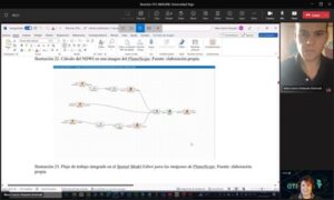
He noted his experiences with the Hexagon team, saying, “Begoña Verdejo Herreras, Julio Lerena Fernández and María Luisa Martínez Segarra gave me the capabilities to use ERDAS IMAGINE and explained the software itself to me through an online tutorial.”
Completing thesis with Hexagon
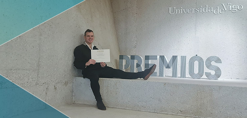
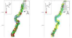
García Ontiyuelo’s thesis is called “Strategies for the detection of land use change in the ecological corridor LIC River Tea through satellites and UAS” and focuses on integrating the latest techniques in remote sensing using data from open access satellites, commercial companies and a photogrammetric survey. García Ontiyuelo’s thesis earned him the UVigo and Confederation of Scientific Societies of Spain (COSCE) awards, and he was also a finalist for the Premio Francisco Coello award.
“ERDAS IMAGINE software was the cornerstone for the pre-processing of Sentinel-2 and PlanetScope satellite images, the subsequent land cover classification algorithms and the detection of changes in the study area,” he said. The young researcher considered the use of Hexagon’s software essential in facilitating the workflow. “Thanks to the Spatial Modeler Editor we were able to implement a workflow defined in ERDAS IMAGINE that classified all the desired multispectral images, which allowed us to obtain a vector layer with the land cover information (LULC classifications) at the time the image was captured.” This allowed him to “obtain a summary of the key points where there is a greater probability of a change in land cover in the future, which is fundamental information for the development of strategies that will allow us to adapt to climate change.”
García Ontiyuelo is now working toward his doctoral degree. His master’s tutors and the AF4 added, “We are grateful for the kindness of the Hexagon staff. Thanks to them we were able to successfully complete this master’s thesis, which was recently awarded the prize for best TFG/TFM in Agenda 2030, development cooperation and RSU, 2022/2023.”
Garcia Ontiyuelo concluded, “I would like to continue using ERDAS IMAGINE tools in my studies directed by Xana Álvarez Bermúdez and Carolina Acuña Alonso.”
Learn more
At Hexagon, we are delighted to continue collaborating with the AF4 research group, and to continue developing new tools to ensure the sustainable development of the planet.
For our Spanish speaking audience, view our recent seminar on remote sensing.


