Precision Agriculture is the use of technology to increase crop production and profitability while simultaneously lowering more traditional resources needed to grow crops. Three researchers recently used Hexagon’s ERDAS IMAGINE remote sensing solution as a tool in their project to apply precision agriculture methods toward a valuable crop in Italy.
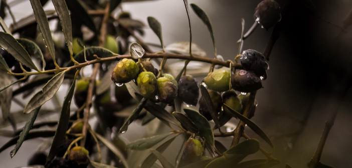
The olive tree is currently and historically a very significant crop in the country. Many industries across the globe ranging from food production to energy require the crop for everyday functions. Demand for the olive has also increased locally and in country exports.
The crop also became the focus of postdoctoral research fellow Francesco Solano and professors Salvatore Di Fazio and Giuseppe Modica’s precision agriculture research project, which was promoted by the Department of Agraria of the Mediterranea University of Reggio Calabria and funded by the Italian Ministry of Research and University (MIUR) and the Italian Ministry of Economic Development (MISE).
Supporting the Demand for Olives with Automated Tree Detection
Solano, a postdoctoral research fellow at the University of Tuscia, and his research team were provided with ERDAS IMAGINE technology by Hexagon partner Planetek Italia. The team implemented ERDAS IMAGINE to provide a semiautomatic workflow aimed at olive tree crowns detection and extraction.
The team incorporated geographic object-based image analysis (GEOBIA) techniques as well as investigated the reliability of vegetation indices derived from Maxar Technology’s very-high resolution WordlView-3 satellite imagery to analyze olive trees’ vegetative vigor without ground radiometric measures using the study area of Calabria, Italy.
The team also wanted to provide a quick and cost-saving procedure that does not require expensive ground truths collection in the framework of precision agriculture techniques.
Processing the Data with ERDAS IMAGINE
Solano and his team learned that satellite detection of the trees did not display accurate results due to shadow effects and/or tree size. This could have resulted in low production forecasting and poor maintenance of the crop. Using ERDAS IMAGINE, the team first georeferenced their images to WGS84-ETRS89 / UTM 33N (EPSG code 25833), then orthorectified using the rational function model.
To increase the original geometrical resolution of Multispectral bands, the hyperspherical color space resolution algorithm was utilized to merge them with the pan band. To reduce data dimensionality and suppress the background signal, an anomaly detection process was generated by means of the orthogonal subspace projection in the IMAGINE Spectral Analysis module. In order to add texture detail and maximize the data variance, a principal component analysis (PCA) was then adopted.
Afterwards, Spatial Modeler, a graphical interface for building and running geoprocessing workflows, was used to replicate the atmospheric and topographic correction capabilities from GEOSYSTEMS GmbH’s ATCOR Workflow for IMAGINE. GEOBIA was then performed in IMAGINE Objective, a tool for feature extraction, update, and change mapping. The Vegetation Index calculation was implemented in Spatial Modeler, and image classification accuracy was performed using the accuracy assessment tool.
The Result: 95% Accuracy in Olive Tree Detection
After testing the results on eight plots, the team’s image processing resulted in 11 missing trees out of 359,347. The overall tree detection rate was higher than 95% using the GEOBIA procedure.
The reflectance values data were also able to distinguish between healthy and unhealthy trees. The Vegetation Indices were used to sense different spectral signatures that indicated trees that had been exposed to diseases, fertilizer, and varying soil conditions.
The team believes that this method of precision agriculture is quick and cost-effective compared to in situ methods. UAVs could also supplement image capture for low altitude remote sensing for a further reduction in cost.
For more information about this project, please read the full paper from Solano, Di Fazio, and Modica: A methodology based on GEOBIA and WorldView-3 imagery to derive vegetation indices at tree crown detail in olive orchards.
Learn more about ERDAS IMAGINE and its capabilities on our website.


