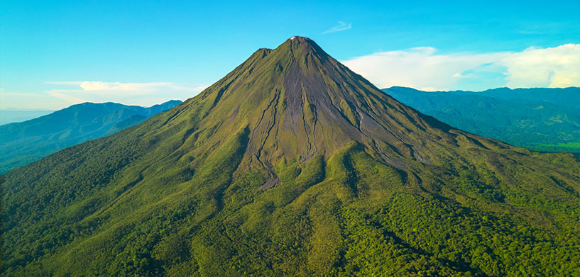
Volcanic eruptions are awe-inspiring displays of Earth’s raw power, but they can also be devastating. The sheer force of an eruption, coupled with fast-moving lava flows, pyroclastic flows and ash clouds, can pose immense threats to human life, infrastructure and the environment.
Explore ERDAS IMAGINE, the world’s preferred remote sensing software package
This is precisely why early detection of an impending eruption is not just beneficial, but absolutely critical. Catching these subtle signs allows emergency services invaluable time to prepare, issue warnings and, most importantly, evacuate at-risk populations, minimizing casualties and mitigating damage.
Remote sensing of…vegetation?
It’s important to understand that no single indicator definitively signals an imminent eruption. Instead, volcanologists rely on a symphony of data points – a combination of various signs and observations that, when taken together, paint a comprehensive picture of a volcano’s activity. Seismic activity, ground deformation and gas emissions are all vital pieces of this puzzle. But increasingly, another powerful tool is joining the ranks of these monitoring methods: remote sensing.
Remote sensing involves acquiring information about an object or phenomenon without making physical contact with it. In the context of volcanoes, this often means using satellites equipped with specialized sensors to collect data from afar. One fascinating application of remote sensing in volcanic monitoring is the analysis of vegetation surrounding a volcano.
Tools like ERDAS IMAGINE, powerful geospatial image processing software, can be instrumental in the process. The core idea is to monitor the Normalized Difference Vegetation Index (NDVI) over time. NDVI is a simple, graphical indicator that can be used to assess whether the target being observed contains live green vegetation. Healthy vegetation exhibits high NDVI values, while stressed or dead vegetation shows lower values.
Greener trees can be a warning
Intriguingly, research suggests that the closer a volcano is to erupting, the greener the trees around it can appear from space. This seemingly counterintuitive phenomenon is attributed to increased carbon dioxide (CO2) emissions from the volcano, which can act as a fertilizer, boosting the health and lushness of the surrounding trees and making their leaves more vibrant. This subtle change in vegetation color, once only detectable from the ground, can now be remotely tracked by satellites, providing a key early indicator of volcanic activity without needing to access dangerous locations.
According to NASA, “As volcanic magma ascends through the Earth’s crust, it releases carbon dioxide and other gases which rise to the surface. Trees that take up the carbon dioxide become greener and more lush. These changes are visible in images from NASA satellites such as Landsat 8, along with airborne instruments flown as part of the Airborne Validation Unified Experiment: Land to Ocean (AVUELO). Ten percent of the world’s population lives in areas susceptible to volcanic hazards. People who live or work within a few miles of an eruption face dangers that include ejected rock, dust, and surges of hot, toxic gases. Further away, people and property are susceptible to mudslides, ashfalls, and tsunamis that can follow volcanic blasts. There’s no way to prevent volcanic eruptions, which makes the early signs of volcanic activity crucial for public safety.”
“Until recently, scientists had to trek to volcanoes if they wanted to measure their CO2 levels. By using the color of tree leaves as an indicator of volcanic gas concentrations, researchers can save themselves the trouble of accessing remote and potentially dangerous locations, instead relying on satellites to do the hard work,” said an article in LiveScience.
Specifically, anomalies in the distribution and health of nitrogen-fixing species, which are particularly sensitive to environmental changes and readily utilize excess CO2, could be an early warning. By using ERDAS IMAGINE’s capabilities for time-series analysis of NDVI data, scientists can detect subtle, anomalous changes in vegetation health and distribution around volcanoes. If certain areas show a consistent and unusual increase in greenness or changes in NDVI, particularly in specific plant species, it could be an early whisper of increased CO2 emissions, hinting at underlying magma activity. This botanical clue, when combined with other vital signs like seismic activity and ground deformation, adds another layer of sophistication to our ability to predict and prepare for volcanic events.
Explore ERDAS IMAGINE, the world’s preferred remote sensing software package
Christophe Plevoets is a product marketing manager specializing in geospatial solutions at Hexagon. He has been a pivotal team member since 2018. He has a rich background as a customer consultant, presales specialist and business development engineer, and he has honed his expertise in geospatial technologies and strategies. His diverse roles have equipped him with a comprehensive understanding of customer needs and market dynamics. This enables him to drive innovative marketing initiatives that enhance Hexagon’s geospatial offerings. Passionate about leveraging cutting-edge geospatial technology, Christophe is dedicated to empowering businesses to make informed, data-driven decisions.


