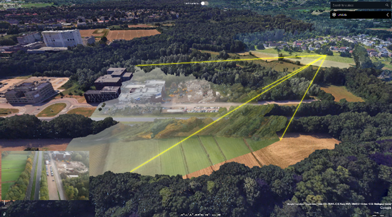
Figure 2: Update 3D city scans with real time situation updates by draping drone video over the 3D meshes. Figure 2 By Wendy Sack on August 7, 2025