


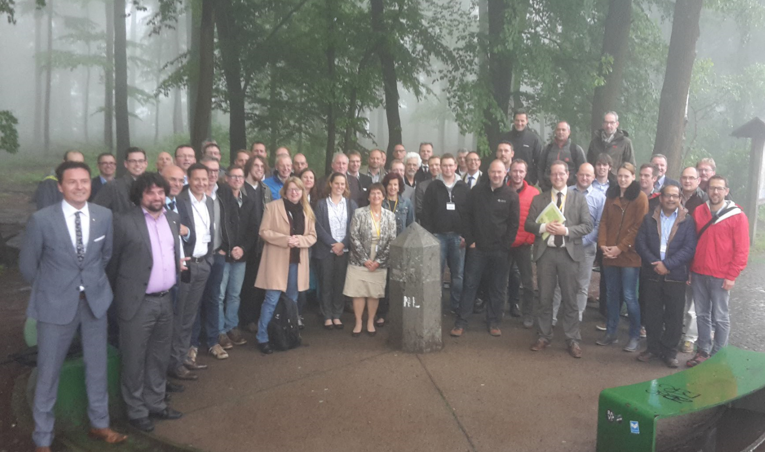
As we gear up for HxGN LOCAL Defence Summit 2017, we take a look back at highlights from last year’s event. In its second year, the geospatial defence summit was a great success. Personnel from Belgium, Germany and The Netherlands, joined this conference specifically designed for Western European defence and intelligence, safety and security agencies. The event was held at Vaalserberg, the tri-point where the three countries meet.
Still reeling from terror attacks in Europe in recent times, the defence departments of Western Europe are taxed with quickly upgrading their counter-terrorism measures. The 3-day event was focused on providing defence personnel with the tools to use geospatial intelligence to their advantage with a fully packed agenda.
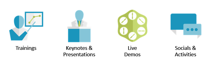
Trainings
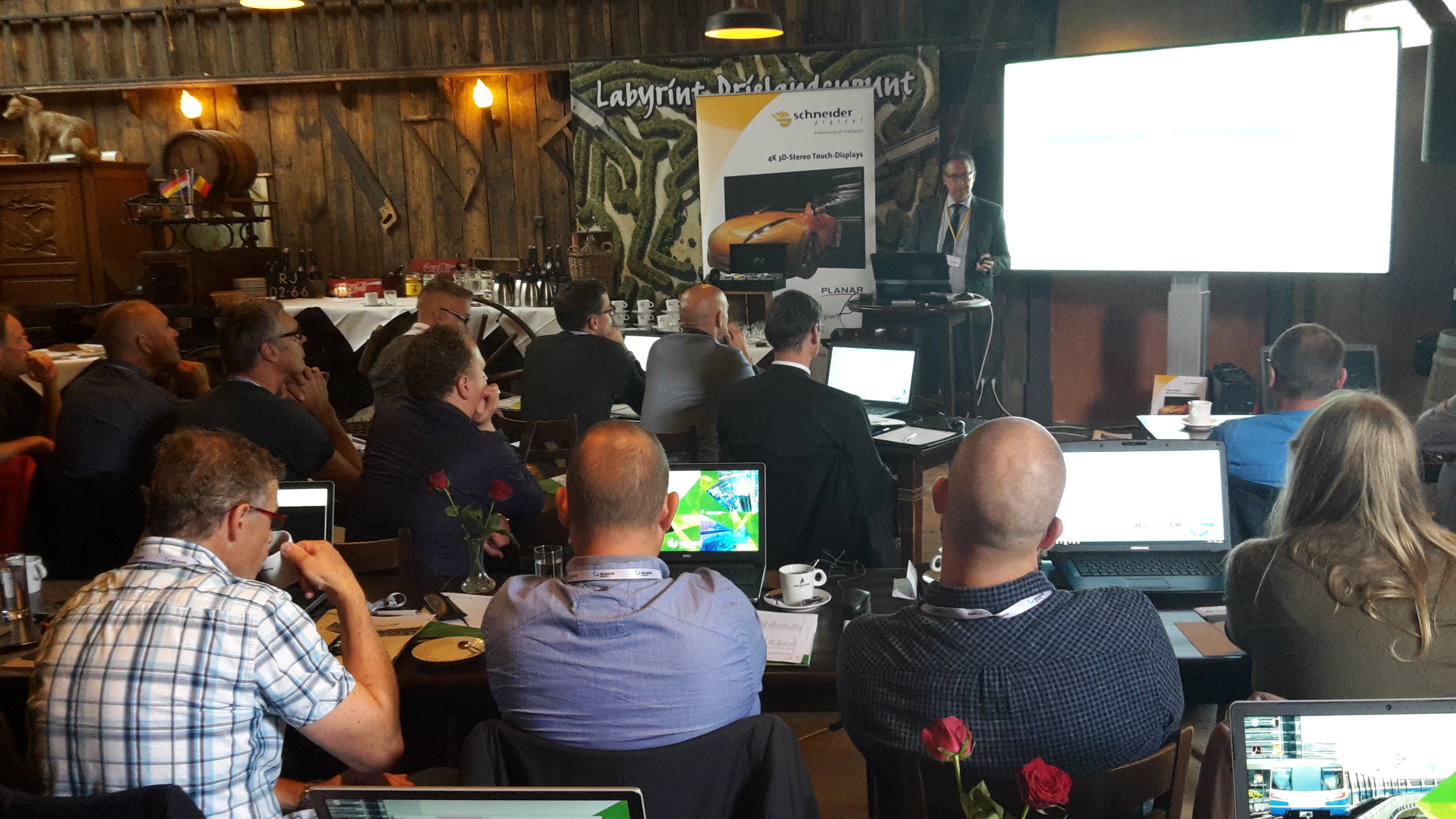
Pre-event trainings were held by GEOSYSTEMS GmbH and Imagem. The hands-on sessions enabled the attendees to interact with technology experts as well as brainstorm ideas. Check out online training options here.
Keynotes & Presentations
Massimo Pagani, EMEA Executive Director for Hexagon Geospatial, in his keynote emphasised how every day, the world grows more complex, dynamic and dangerous. Technology trends are the driving force to counter the treats through cloud computing, big data, new collectors, sensor fusion, intelligent mobility, actionable analytics, and the internet of things. Hexagon Geospatial provides powerful, highly dynamic, and intuitive products to assist intelligence, military, and defence organisations worldwide. Read more about solutions for Defence & Intelligence.
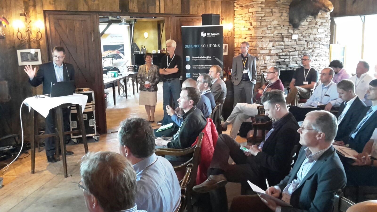
The presentations were initiated by Irmgard Runkel, GEOSYSTEMS GmbH and Wouter Brokx, Imagem. They elucidated how every bit of intelligence – pre-emptive and post-facto – can prove to be crucial at emergency situations, and Geospatial Intelligence plays a critical role in making smart, timely and informed decisions.
This was followed by presentations by speakers from Hexagon Geospatial, Imagem, GEOSYSTEMS GmbH, Sky-Watch, lech-tec, Openstreet Map, ESG, GAF, GEOSYSTEMS France, Hexagon Safety & Infrastructure, Airbus Defence & Space, and Joint ISTAR Command.
Read full agenda here.
Live Demos
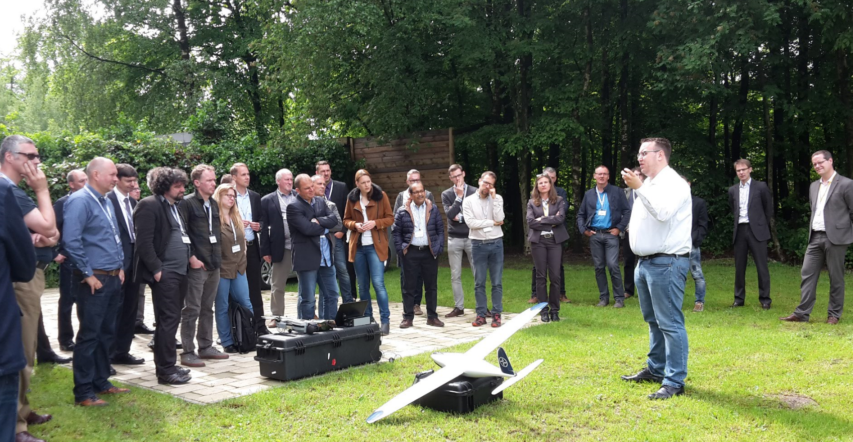
Sky-Watch, a global provider of unmanned aerial systems captured images by flying over Vaalserberg to show the audience how it’s done. This data was then processes using GEOSYSTEMS’ IMAGINE UAV workflow, and can help military organisations process and extract height and position information.
Socials & Activities
All work and no play isn’t fair, but linking work and play is great. Apart from cocktail receptions and dinners, the hosts GEOSYSTEMS GmbH and Imagem came up with a treasure-hunt that relies on geo-caching. Despite the rainy and foggy weather, some of the attendees were able to compete.
All in all, it was a great conference and we thank everyone involved in organising and the attendees for making it a success.
Register now for HxGN LOCAL Defence Summit 2017 to learn how geospatial intelligence plays a critical role in making timely and informed decisions!
CONTACT US: Belgium, Germany, France, Luxemburg, and The Netherlands
About the Author
Yashita Arora
 Yashita Arora is the marketing consultant for Imagem, responsible for strategizing, development, execution, measurement, and reporting of customer-facing demand-generation programs that support sales goals. Prior to this position, she was regional marketing manager for Asia-Pacific at Hexagon Geospatial. She has over nine years of experience in the IT and geospatial industry in areas such as marketing, communications, content development and presales.
