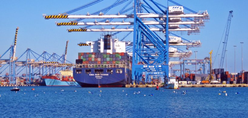
Covering more than 70 percent of the Earth’s surface, our oceans and seas provide a vast landscape for defense, commerce, transportation, offshore drilling, research, environmental cleanup, and much more.
As a result, there are approximately 180,000 large ships at sea at any given moment. This number has increased by 60 percent between 1992 and 2012, according to a 2014 article published by the American Geophysical Union.
The International Maritime Organization also noted in their United Nations profile that 90 percent of the world’s trade is carried by sea.
To help best manage this large amount of increasing traffic, today’s maritime organizations rely on Automatic Identification Systems (AIS) to identify vessels and avoid collisions.
Although AIS technology has improved safety at sea, major incidents still happen today. These dangerous and sometimes deadly incidents reinforce the need for access to real-time course, speed, and position data to prevent future collisions in our increasingly over-crowded sea trade corridors.
While AIS data certainly helps mitigate the challenge on the front end, the data must be processed for it to properly visualize hundreds of thousands of plot positions . As the amount of maritime data grows exponentially with the rising demand for global trade, data processing becomes more difficult to manage.
These were the key themes in a recent Maritime Executive guest article by Frédéric Houbie, a Senior Product Manager at Hexagon’s Geospatial division. The article also highlights a number of maritime scenarios that could benefit from advanced data analytics and visualization solutions.
The following are more details about the solutions, videos, and case studies by Hexagon’s Geospatial division that are highlighted in the article:
- Enhancing AIS Data Usage: Solutions by Hexagon’s Geospatial division help maritime customers access AIS data to understand competitors’ fleet movements and optimize their own operations.
- Detecting Illegal Fishing Practices: Using our solutions, Capgemini SE built a tool to identify unusual behavior at sea, such as load transfers between ships in the middle of the ocean.
- Tracking and Creating New Arctic Shipping Routes:With the Arctic region becoming more of a commercially viable shipping route during the summer months, our Luciad Portfolio solutions can help devise routes with minimal impact on Large Marine Ecosystems and track all other shipping traffic in the region.
From onboard and fishery surveillance to coast guard systems, waterway management, and pollution tracking, Hexagon’s Geospatial division offers cutting-edge data analysis and visualization solutions for the maritime industry, ensuring the safety of our seas, while also aiding global commerce and product distribution.


