Imagine you are an army captain who commands a team of soldiers in the field. You and your team are “way off the beaten path” – in a remote location, disconnected from your network. You have lots of questions: How steep is the terrain? Are there any tracks or paths that you could use? How dense is the vegetation? And will your vehicles be able to handle the terrain?
You quickly realize that you need an up-to-date map of your surroundings, and you need it now. What do you do?
Fortunately, you have ARTEMIS – the Aerial Reconnaissance Tactical Edge Mapping and Imagery System, which includes a structured workflow and tools to go from a UAS (unmanned aerial system or drone) flight to Google Earth in less than four hours.
The ARTEMIS workflow starts with the planning and deployment of a small fixed-wing drone to collect imagery over your area of interest. It operates in a fully disconnected state and includes software for processing the imagery. The drone and its sensors can collect 3cm-level of imagery of an area, and the system uses Google Earth Enterprise Platform (GEEP) to combine the high-resolution imagery with other data sources including satellite imagery, terrain data, and vector content.
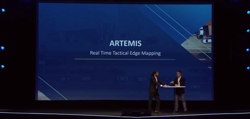
A team of soldiers in the field can collect, process, visualize, and analyze this imagery and terrain data in a matter of hours – even those with no previous experience. For a closer look at ARTEMIS, see part of Geospatial Division President Mladin Stojic’s HxGN LIVE 2019 keynote below, “The Power of Connections”:
Be sure to check out Mladen’s full 2019 keynote address.


