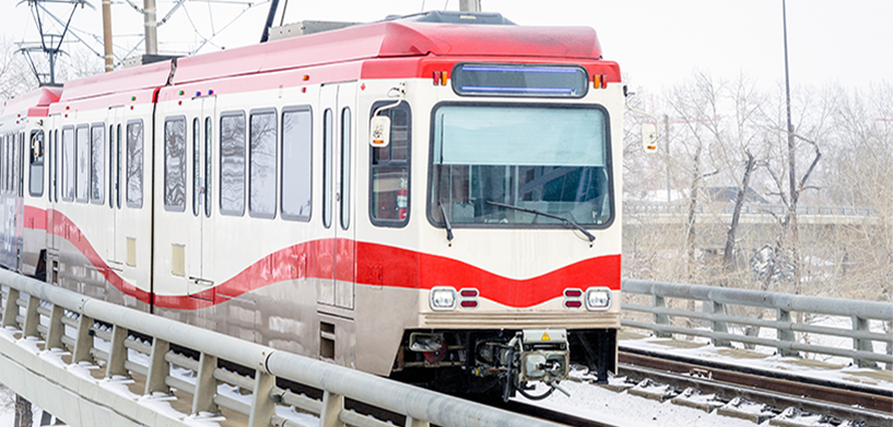
The public transit sector is going places, but like any industry, there are challenges. Public transit networks are complex. An error or delay in one segment can cause a ripple effect down the line — for the transport provider and the public.
Here’s a look at five of the biggest technical challenges facing today’s public transit companies and how geospatial transportation infrastructure management systems can help solve them.
1. Managing and maintaining complex infrastructure
To reduce delays and incidents, operators need a complete picture of underlying track infrastructure, preferably with dynamically updated data. Vulnerable and foundational items like switches and poles should be monitored closely and inspected periodically with results documented. Related assets like cabinets, transformers and insulators should also be accessible, and officials must be aware of status changes in the electricity infrastructure that powers vehicles and signals.
With a geospatial infrastructure management system, operators can access spatio-temporal dashboards to analyze, monitor and predict infrastructure status. Deep insights produce accurate and up-to-date information on weather predictions, the status of construction projects and other relevant traffic data. Leveraging AI algorithms can aid with image classification, feature extraction and predictive maintenance to help minimize rail and wheel wear.
2. Mapping linear referenced information
Most public transportation infrastructure data assets need to be mapped to an underlying network, such as railway track. That includes critical data like locations of tunnels and bridges, as well assets such as switches, stops, masts, poles, hooks, cable ducts, overhead lines and catenaries.
A fast linear referencing system enables operators to build and maintain a digital working model of their networks so they can make fast, smart, confident decisions to ensure smooth daily operations, diagnose and repair damage or deal with disruptions due to construction or other events.
3. Collaborating between departments in and out of the office
Often the responsibilities of maintaining a rail network are split between different departments. One team may handle track maintenance and updates, while another is in charge of stations and stops, a third does scheduling, and others work on rolling stock or sales. But everyone needs to work together as a cohesive unit for optimum efficiency. It should be quick and easy to notify the entire team about issues like construction or downtime.
Having all your asset and spatial data combined in a single integrated network everyone can access makes sharing that data easier. Mobile apps allow service workers to inspect and capture asset data in the field and access to the data they need to fulfill specific tasks or projects — even in areas without internet.
4. Connecting siloed data and systems
When departments are divided, typically, each manages its own data in its own program. This makes interdepartmental cooperation difficult because the programs don’t work together. Data is spread across different systems with no easy method of unification.
Advanced geospatial infrastructure management systems with rich client applications enable users across an entire organization to edit and access transportation network data. Networks can be visualized in different representations, including true map views, geo-schematics and straight-line diagrams. Relevant information can be shared not only across the enterprise, but also with government agencies and the public.
5. Aligning existing software with internal processes
Adapting internal procedures that are already running and successful is never an easy task. Most programs are hard to customize, and the process can be expensive. Sometimes entire areas of a business are overlooked because of poor communication and limited interconnectivity.
Ideally, experts with years of success in the field would be the ones making workflow decisions. With modern software architecture, it’s fast and easy to customize a solution to fit your needs, so each person and department can work in the way that’s best for him or her.
Get to know HxGN Mass Transit
Learn more about HxGN Mass Transit, a geospatial transportation infrastructure management system with 3D and AI capabilities for visualizing and analyzing transit and rail assets and operations.


